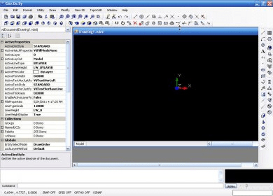
Geo.De.Sy is a complete drawing environment with survey utilities free for the customers of IQSoft and CivilShop. You can create drawing , open and save DWG and DXF untill Autocad version 2011, insert point to drawing , create grid, dtm beta , image correlation.
It is the first release of the program. It is under hard development. The features that are in active development now are: DTM , Parcels .
Main features:
-Complete drawing environment
-Survey Routines for insert point , make grid , dtm etc.
-Image tramsformation routines
-Open and save DWG until version 2011 ,DXF

Comments